Coastal modelling
Coastal modelling is an innovative tool at the service of coastal management and planning.
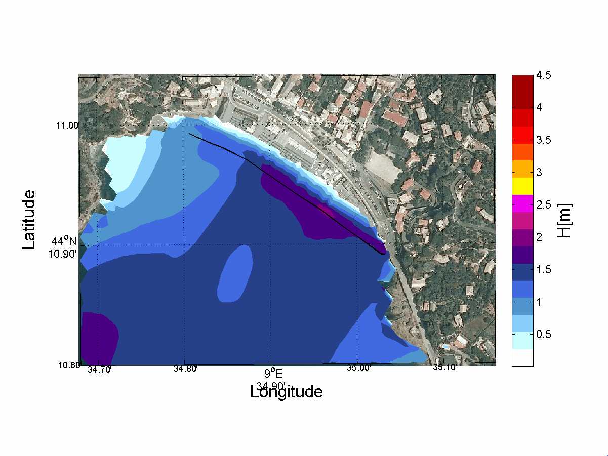
We provide numerical simulations to support nourishment interventions planning. This application consents to evaluate nourishment interventions in relation to local weather and sea conditions, as well as the geological and geomorphological coastal characteristics.
Modelling can also be useful in storm risk evaluation, as it allows to obtain forecast scenarios in relation to the incident wave motion features. It also permits to perform preliminary assessments in the case of coastal restoration interventions. For example, in the case of the construction of new works or modification of pre-existing ones (groynes, breakwaters, piers, marinas, etc…).
Modelling also provides a useful tool for evaluating future scenarios relating to coastal erosion processes. We can calculate different scenarios of the possible evolution of erosive phenomena, both considering the local geo-environmental variables and considering large-scale phenomena, such as climate change and the consequent rise of the average sea level.
The assessment of the influence of average sea level rise on storm surge risk also represents a support tool for future urban planning in coastal areas. We deeply care about climate change and its influence on our future.