Laboratory analyses
Laboratory analyses permit the interpretation of the data collected in the field.
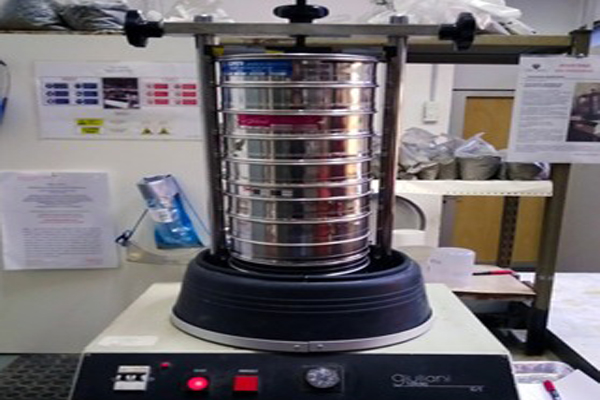
We provide grain size analyses (including pelites’), necessary for the sedimentological classification of beaches and sedimentary bodies in general. Grain size analysis is essential when assessing the suitability of a material for nourishment interventions.
Analyses in the GIS environment allow to return a spatial interpretation of the field data, to define and evaluate sedimentary dynamics (using sedimentological indices) and local hydromorphodynamics. LiDAR, GNSS, Single-beam, Multi-beam data processing and interpretation are also available.
We provide video monitoring, drone surveys, satellite images and the processing of data collected, useful in order to identify and understand coastal erosion processes.